
Zoom Earth
Interactive live satellite map providing near real-time global imagery, hurricane tracking, precipitation radar, and severe weather monitoring.
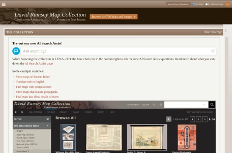
Renowned digital archive containing over 150,000 high-resolution historical maps, maritime charts, globes, and atlases from the 16th to 21st century.
The David Rumsey Map Collection is one of the world’s premier private cartographic archives, housed at Stanford University and completely digitized for public exploration. Featuring over 150,000 rare maps, atlases, globes, and maritime charts dating from 1550 to the present, it offers deep-zoom gigapixel viewers, 3D globes, and georeferenced historical overlays.
Yes. Most historical maps in the collection are in the public domain and available for non-commercial educational and personal download at full resolution.
The physical collection was donated by David Rumsey to the Stanford University Libraries in the David Rumsey Map Center.
The collection includes works dating back to the 16th century, including early editions of Ptolemy’s Geographia and Ortelius’s Theatrum Orbis Terrarum.