
Submarine Cable Map
Interactive global map of the deep-sea fiber optic submarine telecommunications cables that carry 99% of global internet traffic.
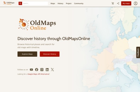
Search engine and historical geography portal indexing hundreds of thousands of digitized antique maps from world-class libraries.
Old Maps Online is a global search portal that indexes historical cartography from major cultural institutions, including the British Library, David Rumsey Collection, National Library of Scotland, and Harvard University. By panning and zooming an interactive modern world map, users instantly discover digitized historical maps covering that exact coordinate.
The portal indexes over 400,000 digitized historical maps provided by dozens of partner libraries and national archives.
Yes. Clicking on any map routes you to the high-resolution archival viewer of the holding institution, where many maps are available under public domain licenses.
Yes. Many maps have been georeferenced through crowdsourcing, enabling transparent opacity sliders on top of modern satellite maps.