
Submarine Cable Map
Interactive global map of the deep-sea fiber optic submarine telecommunications cables that carry 99% of global internet traffic.
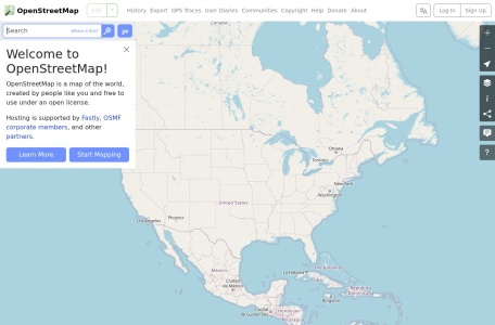
The world’s open, community-built geographic database, providing free editable vector map data to millions of global applications.
OpenStreetMap (OSM) is the “Wikipedia of maps”—a collaborative, open-access project to create a free, editable geographic database of the entire world. Built and maintained by millions of volunteer mappers, OSM powers the navigation systems of Apple, Strava, Niantic, Uber, and countless humanitarian relief efforts.
Google Maps is a proprietary service with usage limits; OpenStreetMap is an open database that allows anyone to inspect, edit, download, and build upon the underlying raw geospatial data.
It is supported by the non-profit OpenStreetMap Foundation (OSMF) through membership dues and corporate donations from tech leaders.
Yes. Anyone can create an account and edit roads, buildings, and points of interest using the in-browser iD editor or advanced desktop GIS tools like JOSM.